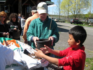
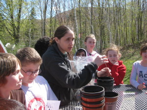
Students from Debbie Valerio’s 4th-6th grade science club at the Windham-Ashland-Jewett Central School explored the science of trees at Cornell Cooperative Extension of Greene County. The Forestry Walk is part of Cornell’s Siuslaw Model Forest and is one of many educational field trips funded by the Windham Chapter.
Under Crystil-Lee Skoda’s expert tutelage, students learned how trees grow and help our environment. Trees produce clean air for us to breathe by removing carbon dioxide from the air. Many of man’s modern “conveniences” release large amounts of carbon dioxide. Trees filter ground water, remove carbon dioxide from the air, reduce heating and cooling costs of nearby structures and contribute to a property’s value, in addition to being esthetically pleasing.
Students were shown techniques that foresters use to measure live trees without cutting them down using a Biltmore stick. Students were asked to split up into groups and practice measuring trees. Next, they were asked to pick out a tree which they thought removed the most carbon from our environment in a year. Ms. Skoda went around to the groups helping them identify their chosen tree and record their measurements.
After the woodland walk, the school group came into the Cooperative Extension building. Ms. Skoda held a quick review and the students’ tree data was plugged into an online tree calculator which told the group how much carbon was removed by their tree in a year. After looking at all five of the trees which the each student group selected, the tree which removed the most carbon, was a Sugar maple which removed 413 lbs of carbon each year. This data was submitted to a local 4-H Science Experiment, the Greenest Tree contest of Columbia and Greene Counties. “The tree calculator activity really drives home how much of an impact each tree has on our world,” said Skoda. “These young people also piloted a GPS activity. Global positioning can be used to help navigate the woods while hiking and can be used to map areas as well.”
“We couldn’t have done it without the Windham Chapter,” Skoda said.


